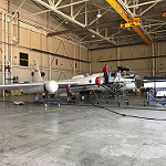
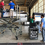
Images: GOES-16 Field Campaign
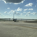
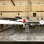
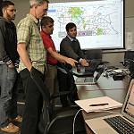
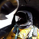
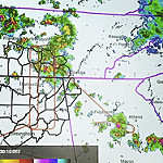
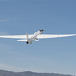
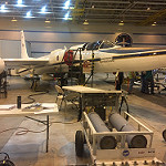
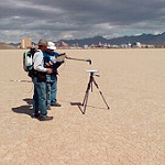
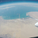
During this 11-week campaign, a team of instrument scientists, meteorologists, GOES-16 engineers, and specialized pilots used an outfit of high-altitude planes, ground-based sensors, unmanned aircraft systems (or drones), the International Space Station, and the NOAA/NASA Suomi NPP polar-orbiting satellite to collect measurements across the United States to support validation of the GOES-16 ABI and GLM instruments.
Local High Resolution Image Links:
This section mirrors the Flickr gallery above but contains links to only HIGH RESOLUTION LOCAL (to our server as opposed to Flickr) images. It functions as a 'one click' quick access to the highest resolution version of each image as well as back up in the event Flickr is down.
