GOES-S Reaches Geostationary Orbit
March 12, 2018
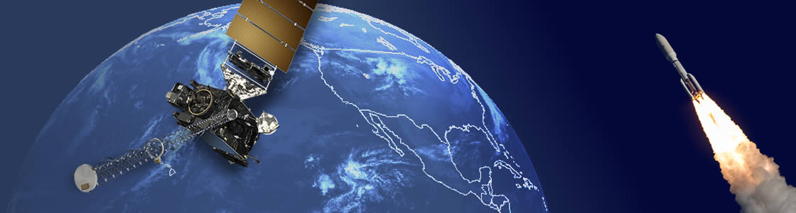
On March 12, GOES-S executed its final liquid apogee engine burn, placing the satellite in geostationary orbit 22,236 miles away. GOES-S is now GOES-17! The satellite will be called GOES-17 for the remainder of its lifespan. GOES satellites are designated a letter prior to launch and renamed with a number once they achieve geostationary orbit.

On March 13, GOES-17 will perform its second stage solar array deployment, releasing the solar array yoke and solar pointing platform. In the days that follow, several maneuvers will be conducted to put GOES-17 in its 89.5 degrees west longitude checkout position. Finally, the magnetometer boom will be deployed. Post-launch testing and calibration is scheduled to begin on March 26. The first imagery from the satellite is expected in mid-May.
GOES-17 will undergo a six-month on-orbit checkout of its instruments and systems, followed by operational handover procedures. The satellite move to its operational location at 137 degrees west longitude in late 2018 and become NOAA’s GOES West.
GOES-17 will provide faster, more accurate, and more detailed data in near real-time to track storm systems, lightning, wildfires, coastal fog, and other hazards that affect the western U.S., Hawaii and Alaska. An operational GOES-17 will give the Western Hemisphere two next-generation geostationary satellites. Together, GOES-16 and GOES-17 will keep an eye on weather and environmental hazards from the west coast of Africa all the way to New Zealand.